 CRE
AI for Data Center Site Selection: 4 Options Compared
Why data center siting breaks the normal land workflow
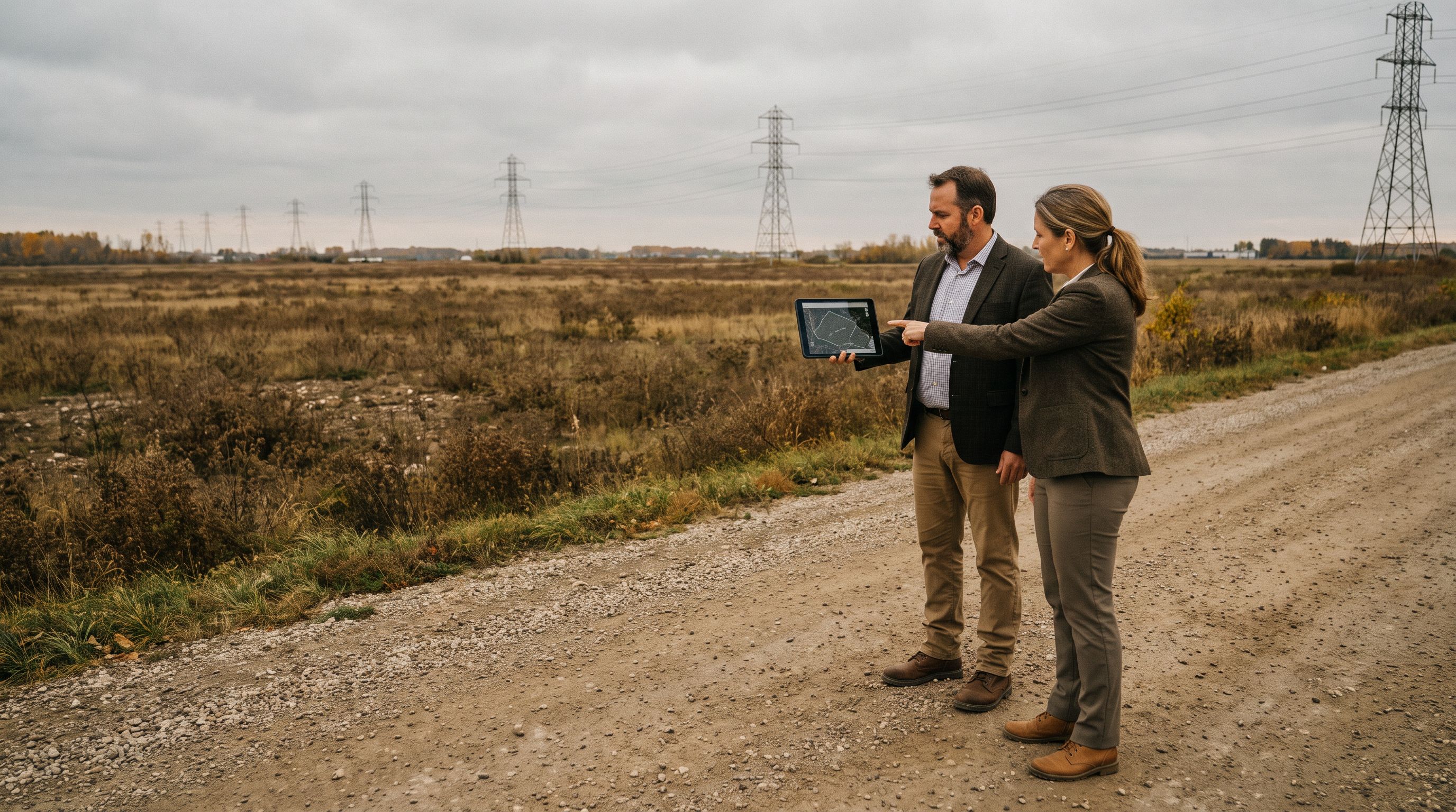
A standard industrial land screen asks: acreage, zoning, access, price, environmental. A data center screen asks all of that and then asks the question that kills most deals before a broker ever walks the site: can this parcel get power, in what quantity, and when?
That reorders the whole workflow. Loudoun County, Virginia — widely marketed as “Data Center Alley” — became what it is largely because of transmission capacity and fiber density, not because the dirt was special. The brokers winning these assignments today are the ones who can disqualify ninety parcels on power and entitlement grounds in an afternoon and bring the owner a short list that survives the utility conversation.
That is a research and data-joining problem. Which is exactly the kind of work AI agents are genuinely good at — and exactly the kind of work where a confident wrong answer is expensive.
Option 1: A general AI assistant doing desk research
Claude, ChatGPT or Gemini with web search, driven by a broker typing prompts. You paste in a county’s zoning ordinance PDF and ask which districts permit data centers by right versus by special exception. You ask it to summarize a utility’s published tariff structure for large loads.
Where it wins: speed on unstructured documents. Reading a 300-page zoning ordinance, a county comprehensive plan, or a utility rate schedule and pulling out the relevant sections is genuinely a strong use case. It’s also free or near-free to try.
Where it breaks: anything requiring a current, authoritative lookup. Parcel-level facts, transmission line voltages, substation locations and interconnection status are precisely where general assistants fabricate. They also have no memory of your listing inventory, so every search starts from zero.
Option 2: Off-the-shelf CRE platforms and their AI features
CoStar, Crexi, LightBox, Reonomy and the major land-listing platforms. They are not interchangeable, and the distinction matters for a power screen: CoStar and Crexi lean toward listings, comparables and market analytics; Reonomy is built around ownership and contact resolution on unlisted parcels; LightBox leans toward parcel boundaries and environmental/due-diligence overlays.
All of them ship some form of AI search or summarization, and that feature lineup changes on a quarterly cadence — don’t assume parity between vendors or between this quarter and last. Demo the specific capability against one of your own screens before you buy it, and check the current product documentation rather than a review article.
Where it wins: licensed, maintained parcel, ownership and comp data, with mapping. If you need to know who owns the 400 contiguous acres and what they paid, this is the fastest path, and the data is defensible because someone maintains it commercially.
Where it breaks: power. These platforms are built around real estate attributes, not electrical infrastructure, and most don’t model substation proximity or utility capacity in a way a data center developer would accept. There’s also a structural limit: licensing terms usually restrict how platform data can be piped into your own AI — we walked through the options in whether your AI agent can legally use CoStar or MLS data.
Option 3: No-code automation over public datasets
Make, n8n or Zapier wired to public sources — county GIS parcel and zoning layers, recorder data, EIA’s plant-level generator datasets, and the public interconnection queues published by grid operators like PJM. FERC’s Order No. 2023 pushed interconnection processing toward cluster studies, which changed how those queues read; confirm current process details with the operator before relying on them.
Where it wins: monitoring. “Alert me when a new generation project enters the queue within 15 miles of these five counties” is a rules problem, not an intelligence problem, and a scheduled automation does it reliably and cheaply.
Where it breaks: interpretation and brittleness. These flows don’t reason about whether a queued solar project is relevant to a 150 MW load, and county GIS endpoints change without notice. This is the same tradeoff we mapped in Zapier vs Make vs n8n vs a custom MCP agent.
Option 4: A custom agent over your own inventory via MCP
This is the pattern where you build an MCP server — the Model Context Protocol is an open standard for giving an AI assistant governed, read-scoped access to specific tools and data — over your listing inventory, your CRM, and whichever public feeds you’ve chosen to ingest. Then you connect Claude or another assistant to it and ask portfolio questions in plain English.
The question that only this option answers: “Of the 42 land listings we control, which sit in a district that permits data centers by right, are within three miles of a transmission corridor, have more than 50 contiguous acres, and have no recorded conservation easement?”
You can also package the screen as a skill — a reusable set of instructions so the agent runs the same disqualification logic, in the same order, with the same output format, every time a new assignment comes in. The mechanics are covered in connecting Claude to your CRE systems with a custom MCP server.
Where it breaks: cost, maintenance, data hygiene — and correctness. If your listing records don’t carry parcel IDs, no agent will fix that for you. More dangerous: a custom agent will return a clean, well-cited, auditable answer built on a stale public layer just as confidently as one built on a current layer. If the county republished its zoning map in March and your ingest last ran in January, the deliverable looks rigorous and is wrong. Date-stamp every ingested layer and surface that date in the output.
A power-first screen you can actually run
-
Define disqualifiers before you define targets
Write the three to five conditions that make a parcel an automatic no — insufficient acreage, prohibited use district, floodplain, no transmission within X miles. Order them cheapest-to-check first. -
Pull the parcel layer from the county, not from a summary
County GIS and recorder systems are the primary source for boundaries, zoning designation and encumbrances. Have the agent cite the parcel ID, the layer it read, and that layer’s publication date. -
Separate supply signals from service reality
Log transmission proximity and queued generation as context. Log the utility’s service process as a separate, human-owned workstream with a named contact. -
Have the agent produce a disqualification log, not a shortlist
For every parcel it drops, require a one-line reason and a source. This is what makes the output auditable when the client challenges it. -
Human-verify the survivors
Planning department call, utility inquiry, title review. Entitlement and utility commitments have real legal and financial stakes — bring in counsel and a power consultant before anything goes in writing to a client.
There is no single best AI tool for commercial real estate
The honest answer to “which AI tool is best” is that the question is scoped wrong. Document reading, portfolio querying, scheduled monitoring and licensed data lookup are four different jobs, and the tools that win each are different. A general assistant is the best document reader and the worst system of record. A CRE platform is the best licensed data source and the worst custom-logic engine. The broader land-and-zoning angle sits in AI for zoning and site feasibility.
Any AI answer about power or zoning is a to-do list for verification, not a finding.
How much of the screen can you actually hand off?
People invoke a “30% rule in AI” to mean several unrelated things — that AI handles roughly 70% of a task and humans the last 30%, that you should only trust a model within 30% confidence bands, that productivity gains cap out around 30%. There is no authoritative definition behind any of these, and you should be suspicious of anyone citing one as established. As a working heuristic — and this is opinion, not a measured finding — the useful version is: assume the agent gets you a prioritized, structured starting point and that the remaining judgment, verification and client-facing framing is yours. Budget your time accordingly rather than budgeting for a finished product.
What this does to the analyst role
The part of data center site screening that disappears is the manual assembly: downloading parcel exports, cross-referencing zoning tables, building the first spreadsheet. The part that doesn’t disappear is the utility relationship, the entitlement read, the land-owner conversation and the judgment about which jurisdiction will actually approve a project in this political climate. Those are the parts clients pay for.
Modeling whether it’s worth building
Don’t start with a dollar figure; start with a formula and your own inputs.
If your firm runs two data center land assignments a year, use a general assistant and a platform subscription and stop there. If you’re running a dedicated practice across multiple markets and the same screen repeats monthly, the custom-agent math starts to work — the recovered analyst hours go into more assignments pursued, not into a cost line you delete. The decision framework is the same one in custom vs off-the-shelf CRE software: build when the logic is proprietary and repeated, buy when it’s standard.
Not sure where to start?
Get a free automation audit: we map your deal pipeline, marketing, and back-office workflows and show you what's worth automating — before you spend a dollar.
Get a free automation auditRelated guides

AI Pricing Models for CRE Brokerages: 4 Compared
Per-seat, usage, outcome and custom-build: four commercial real estate AI pricing models compared, with a payback formula you fill in and a procurement stress test.
Read guide →
AI for CRE Flood and Hazard Screening: 4 Options
Compare four ways to run flood, wildfire and seismic screening on commercial real estate deals — manual FEMA lookups, platform risk layers, AI research agents, and a custom MCP build.
Read guide →
AI for CRE Buyer Qualification: 4 Vetting Options
Compare 4 ways to qualify CRE buyers with AI — manual analyst, screening tools, an AI assistant with a skill, or a custom MCP agent — including proof of funds checks.
Read guide →